Project
Roadless Initiative
Global mapping and protection of the world’s remaining roadless areas.
Visit roadless.online →Geospatial science for conservation
GIS for Nature uses geospatial analysis, remote sensing, and interactive web maps to support nature conservation, climate resilience, forest integrity, and biodiversity protection.
What I do
Creating spatial datasets and models for conservation decision-making.
Mapping intact landscapes and assessing road impacts on ecosystems.
Studying how landscapes buffer heat, floods, and disturbance.
Linking spatial data with habitat, species, and ecosystem integrity.
Explore
A future space for web maps on roadless areas, forest integrity, climate resilience, and biodiversity.
Map preview
Roadless Areas Explorer
MapLibre web map coming soon
Featured projects
Project
Global mapping and protection of the world’s remaining roadless areas.
Visit roadless.online →Project
GIS analyses supporting ecosystem-based climate adaptation for Barnim and Bernau.
View climate adaptation projects →Project
Remote sensing and geospatial research on forest structure, resilience and ecological integrity.
Coming soon →Project
Modern web maps and geospatial tools that make environmental data accessible for conservation decisions.
Coming soon →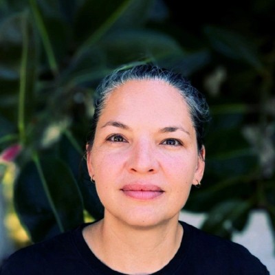
Why GIS for Nature?
I am Dr. Monika T. Hoffmann, a geospatial scientist specialising in GIS, remote sensing and conservation planning. I created GIS for Natureto bridge scientific research, geospatial technologies and practical conservation. Through spatial analysis, remote sensing and interactive web mapping, I transform complex environmental data into information, insights and tools that support biodiversity conservation, forest integrity, climate resilience and evidence-based decision-making.
Global → Regional
Conservation Mapping
15+
Research Projects
15+
Scientific Publications
10+
Years of Experience
Open
International Collaborations
Open to collaborations, research projects, conservation mapping, web maps, GIS consulting, and impact-driven environmental work.
Get in touch →